Google Maps update brings two new important features for commuters

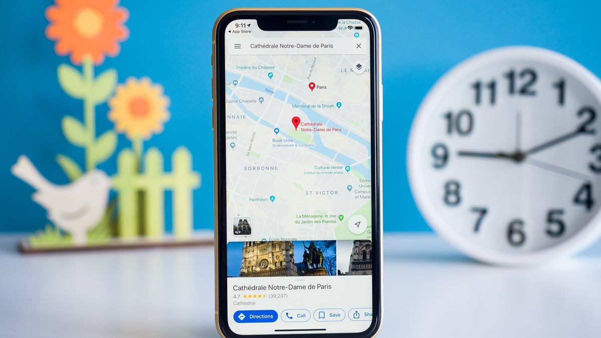
Google launched two new features for Maps, which will greatly help those using public transportation to commute every day. The new features, live traffic delays for buses and crowdedness predictions, will help Google Maps users to plan better for their transit ride.
Since transit schedules aren't always accurate due to real-time traffic conditions, Google has decided to launch live traffic delays for buses, a new tool that will feed Maps users with real-time info directly from local transit agencies.
It will allow Google Maps users in select cities to see if their bus will be late, how long the delay will be, as well as more accurate travel times based on live traffic conditions along their route. The new feature will be visible on the map too, as you'll be able to see exactly where the delays are on the map so you know what to expect before you get your bus.
The second new features announced today is transit crowdedness predictions, which will allow Maps users to see how crowded their bus, train or subway is likely to be based on past rides. That way you'll be able to take a more informed decision when taking a bus or waiting for the next one to arrive.
Starting today, both new features will be available in Google Maps in nearly 200 cities around the globe on both Android and iOS.
It will allow Google Maps users in select cities to see if their bus will be late, how long the delay will be, as well as more accurate travel times based on live traffic conditions along their route. The new feature will be visible on the map too, as you'll be able to see exactly where the delays are on the map so you know what to expect before you get your bus.
Starting today, both new features will be available in Google Maps in nearly 200 cities around the globe on both Android and iOS.
Follow us on Google News


Things that are NOT allowed:
To help keep our community safe and free from spam, we apply temporary limits to newly created accounts: