
Google Maps getting real-time wildfire info; rural areas get Google's Address Maker for nameless streets
During Google's Search On event, the tech giant announced a new change coming to Google Maps that would solve one of the biggest problems in rural areas, reports Android Central. It will now be easier to discover "under-addressed communities" and locate previously missing roads on the app.
Google Maps is now trying to resolve the issue that many remote communities have been facing, namely streets that don't have a name. For that, Google has now announced the Address Maker app, which uses an open-source system called Plus Codes, and assigns functional addresses to remote areas that don't have such.

The app is already in use by governments and NGOs in The Gambia, Kenya, India, South Africa, and the United States, and the search giant also has said it intends to have even more partners to the app in the future.
Another helpful feature the tech giant is implementing is the possibility to have an aerial view of wildfires and tree coverage in Google Maps. The wildfire layer that the app would be getting will provide real-time updates on multiple fires at the same time.
Additionally, the tech giant has collaborated with the National Interagency Fire Center in the US so the app can display different types of fires. In the coming months, this capability will also be brought to Australia and other countries.
In 2022, the company has said it plans to bring its Tree Canopy insights to more than 100 cities around the world, for example, Guadalajara, London, Sydney, and Toronto. The Tree Canopy tool provides aerial coverage of trees in cities, so it can provide a deeper understanding of tree locations with the goal to inform and inspire action. Bringing the Tree Canopy to more cities will assist local governments in developing sustainability plans.
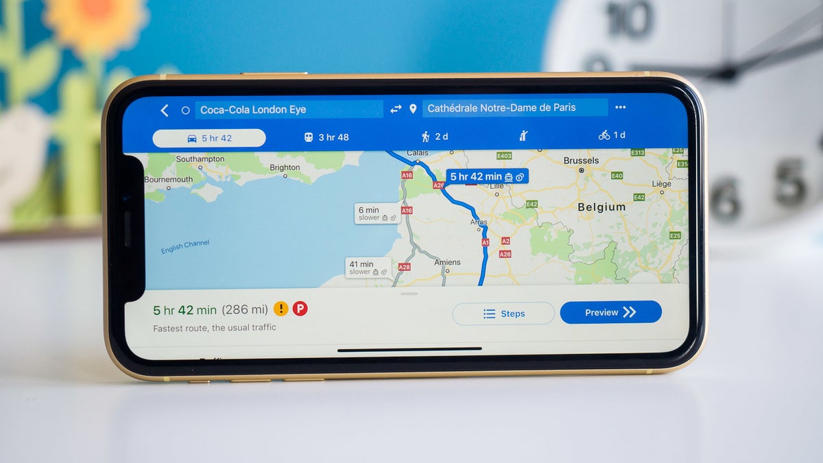
The Google Maps app has been getting better and better recently with many new improvements introduced to it. For example, in August, we reported on a feature that's in the works that would display information about the prices for tolls on bridges, roads, and any other extra expense when you travel. This way you would be able to choose the fastest road or the least expensive one in terms of tolls.
In cities, Google Maps will be gaining the possibility to display information about e-bikes and e-scooters. Some of the most popular companies of e-bikes and scooters have announced they would integrate their vehicles' exact GPS location into Google Maps. For example. now all Bird partner cities within the US will have access to Bird scooter and bike locations through the Google Maps app, both on iOS and Android. The rest of the world (around three hundred partner cities of Bird) will be getting it soon as well.
Google trying to address one of the biggest issues in rural areas: nameless streets
Google Maps is now trying to resolve the issue that many remote communities have been facing, namely streets that don't have a name. For that, Google has now announced the Address Maker app, which uses an open-source system called Plus Codes, and assigns functional addresses to remote areas that don't have such.
Not having an address to have a package delivered to your door or open a bank account can be a difficult problem for many people around the world, and Google has acknowledged that. Now, local governments and non-governmental organizations (NGOs) can generate addresses for those people using the Address Maker app. Before that, the process could take forever.
Here's how Address Maker would help in The Gambia:
Google Maps gets a feature to make it easier to get an aerial view of wildfires
Another helpful feature the tech giant is implementing is the possibility to have an aerial view of wildfires and tree coverage in Google Maps. The wildfire layer that the app would be getting will provide real-time updates on multiple fires at the same time.
This way, if you're in a wildfire-affected area, you can get immediate access to resources and assistance from local authorities by tapping on a red mark in the app that indicates the occurrence of a fire. This new Google Maps feature will be available globally this week to Android phones, and iPhones and desktops will be getting it in October.
Additionally, the tech giant has collaborated with the National Interagency Fire Center in the US so the app can display different types of fires. In the coming months, this capability will also be brought to Australia and other countries.
In 2022, the company has said it plans to bring its Tree Canopy insights to more than 100 cities around the world, for example, Guadalajara, London, Sydney, and Toronto. The Tree Canopy tool provides aerial coverage of trees in cities, so it can provide a deeper understanding of tree locations with the goal to inform and inspire action. Bringing the Tree Canopy to more cities will assist local governments in developing sustainability plans.
Other recent improvements of the Google Maps app
The Google Maps app has been getting better and better recently with many new improvements introduced to it. For example, in August, we reported on a feature that's in the works that would display information about the prices for tolls on bridges, roads, and any other extra expense when you travel. This way you would be able to choose the fastest road or the least expensive one in terms of tolls.
In cities, Google Maps will be gaining the possibility to display information about e-bikes and e-scooters. Some of the most popular companies of e-bikes and scooters have announced they would integrate their vehicles' exact GPS location into Google Maps. For example. now all Bird partner cities within the US will have access to Bird scooter and bike locations through the Google Maps app, both on iOS and Android. The rest of the world (around three hundred partner cities of Bird) will be getting it soon as well.

Popular stories


Latest News


Things that are NOT allowed:
To help keep our community safe and free from spam, we apply temporary limits to newly created accounts: