How Google Maps helps save you from getting a speeding ticket
Google Maps users know that the app will show them the speed limit along the routes they are traveling on. This comes in handy on low-visibility days when a speed limit sign can't be properly viewed. And if you are driving in an area that you're not familiar with, a quick glance at Google Maps will show you how fast you should be driving. Google obtains speed limit data from various sources.
In a post published today, Google says that one source is "authoritative data from local governments that helps us know what the default speed limits are for different types of roads when there is no signage. For example, in California, 25 miles per hour is the default speed limit in residential areas." And some speed limits fluctuate due to the time of day, weather, and other factors. To keep track of those varying speed limits, Google relies on AI and imagery.
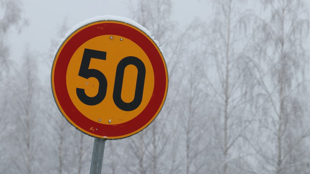
Google uses imagery from Street View, third-party sources, and AI to determine which signs give speed limit information
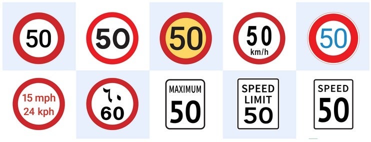
Google uses imagery from Street View and third-party sources along with its AI capabilities to figure out which signs are speed limit signs. Even if a specific sign looks different than the speed limit signs in other countries, Google can determine whether it is showing drivers what the speed limit is in a certain country. As an example, Google points out that in the U.S. a speed limit sign is marked as such while in Germany a speed limit sign might show just numbers indicating the maximum speed allowed.
Google uses imagery and AI to help determine which signs are showing the speed limit in an area
GPS is used to match the geographical location of such a sign with its location in the world helping Google determine exactly where the sign is located. This helps it to know exactly where to change the speed limit along your route.
When a speed limit is changed due to requests from a community or traffic conditions are temporarily or permanently changed, Google can check it out by taking a look at traffic patterns. If it notes that drivers are constantly driving in a certain area at a rate below the speed limit, it could be a sign that the speed limit has been reduced. This might happen if a new school has been built in the area, or the government considers the road a high-risk area and wants drivers to slow down.
Google will look for confirmation of a change by turning to official data from local governments and by looking at refreshed Street View imagery. If the latter does not exist, it requests the imagery from third-party partners. Google says, "If the partner has photos available, we use a combination of AI and help from our operations team to identify the sign in the images, extract the new speed limit information, and update Google Maps."
Google's speed limit data helped the Volvo EX30 pass the EU's General Safety Regulations
Automakers need to know speed limit data to help them add certain features to their cars. For assisted driving or fully automated driving features to work, cars need to have accurate speed limit information just as human drivers do. The EU's General Safety Regulations (GSR) require that new vehicles registered after July 2024 must have an intelligent speed assistance (ISA) feature displaying the legal speed limit at all times. This feature must warn drivers if they are speeding.
Google uses Street View and third-party imagery along with AI to determine which signs are speed limit signs
Google says that in order to meet the requirements, vehicles must deliver accurate speed limits for at least 90% of any drive. While cars will be equipped with cameras and sensors to help them make sense of speed limit signs, the same issues that prevent human drivers from reading them (the weather, poor placement of a sign, and physical obstacles covering the sign) can affect cameras and sensors from obtaining the correct speed limit information.
According to the report, Google notes that the ISA feature in Volvo’s EX30 passed the EU's GSR certification by using Google Maps' speed limit data. As the company so proudly states, "This means that the EX30 can reliably display the legal speed limit, even when there aren't clear signs on the road." If Google Map's speed limit data can be accurate enough to help a car pass the EU's GSR certification, imagine how it can help you arrive at a destination quickly and safely.

Popular stories


Latest News


Things that are NOT allowed:
To help keep our community safe and free from spam, we apply temporary limits to newly created accounts: